


|
|
|
|
|
|
My official Bio from the US Geological Survey: Vince's specialty is mapping the Earth's surface and digital modeling. His work has appeared worldwide and been presented before the U.S. Congress and the United Nations. A graphic that he prepared in response to the controversial subject of sea level rise and global warming was hosted on the White House web site (Clinton-Gore) and later (Obama) in the Official Federal Government Final Report on Global Warming (2009) also presented at the White House. During his career he has represented the U.S. Government at numerous symposiums as an authority in his specialty.
Vince is highly respected for his contributions as author in the development and application of digital elevation models (DEM) and digital orthophoto quadrangles(DOQ). DEMs and DOQs are the primary base layers used world wide for such applications as Google Maps and Google Earth.
He has authored and co-authored Standards for Digital Elevation Models (DEMs) and the initial version of Data Users Guide 5 for DEMs, the initial version of Standards for Digital Orthophotos, and early efforts to develop metadata for DEMs compliant with Federal Geographic Data Committee (FGDC) guidelines. He wrote the first prototype for the Standards for Line Graphs (DLG) – Jewel Ridge dataset. These were important milestones in the developing and establishing of standards government wide for these products.
Through out his career, Vince has provided a wide variety of technical assistance related to the military version of digital elevation data (DTED), particularly in solving data conversion and data processing problems. He has developed software programs which enabled the USGS to produce DTED software for other Federal agencies and specifically to support DTED prototypes for the Space Shuttle Radar Topographic Modeler (SRTM) mission.
Vince also designed and built and maintained a number of Linux based Mainframe data servers to meet the digital data storage needs of the USGS.
Vince also built specialized digital servers which hosted and processed NASA Lidar (Lear Jet - laser based) data sets specifically used to map the State of New Jersey with the new Lidar data coverage. Vince also lead the team at USGS which created these Lidar coverages.
Vince expertise in elevation data modeling was critical during his processing the DEMs which covered the entire South Florida Everglades project. This project was ongoing over course of a decade of data collection, using an innovative data collection primarily acquired from helicopter transects of the swamp. This data processing strategy was also used to map the Blackwater National Wildlife Refuge, MD (swamp) and produce a projected 100 year global warming sea level rise simulation for the swamp. Also used this same technique to produce a terrain map of the Great Dismal Swamp VA-NC
Vince partnered with the Smithsonian Institute to produce digital sub terrain maps of burial tombs Bab edh-Dhra’ primary author Bruno Frohlich.
Vince partnered with Federal Aviation Administration to produce Flight Procedures and Airspace 8260.19F Appendix C
EDUCATION
Associates Degree, Electrical Engineering, Rochester Institute of Technology
Bachelor of Science, Syracuse University
Bachelor of Science in Forest Engineering, State University of New York School of Forestry
Rated by Civil Service as: Civil Engineer, Mathematician, Meteorologist
Retired USGS 2006
Presently employed by Whitetail Resorts, Mercersberg PA, PSIA Professional Ski Instructor (25 years) and Snowboard Instructor (18 years)
Awarded Gold medal in 5-kilometer inline (roller blade) racing, Skate of the Union, June 2014
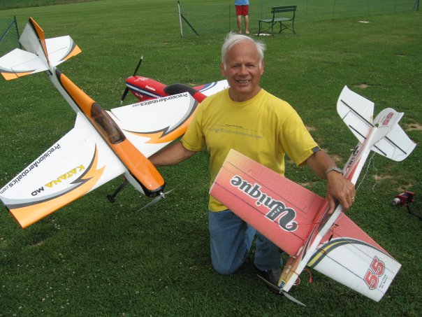
Member DC-RC Washington DC Remote Control Airplane club
Lives with his wife Marianne at Knoxville MD,
Adult Children: Julie Crosby, Laura Bacchus, Michael Caruso